Before you can protect a place well, you have to know what is there.
Conservation begins with observation.
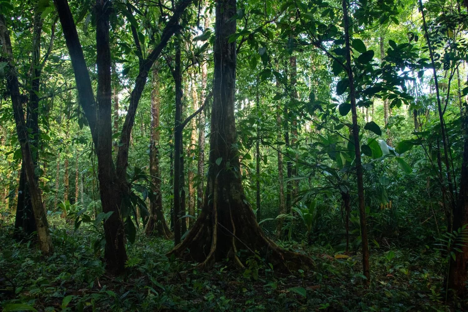
A forest can appear healthy from a distance while its ecological relationships are changing underneath the canopy. Research makes those changes visible: which species live here, where they are moving, how water changes between the headwaters and the river, where erosion is occurring, which habitats are regenerating, and which edges are under pressure.
The findings
Nine findings from the research on this land.
Scan the index, then select a finding to read the evidence behind it.
 01The land850 mof elevation, from the Naranjo River to the highest ridgeNow reading
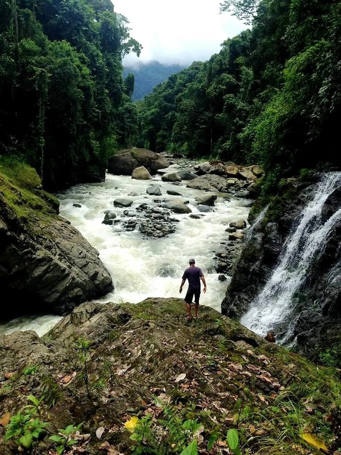 02The ground60°+slopes, where tree roots do the structural work of holding soilRead the evidence
 03The waterDaysthat rain is held in canopy and soil before it reaches the riverRead the evidence
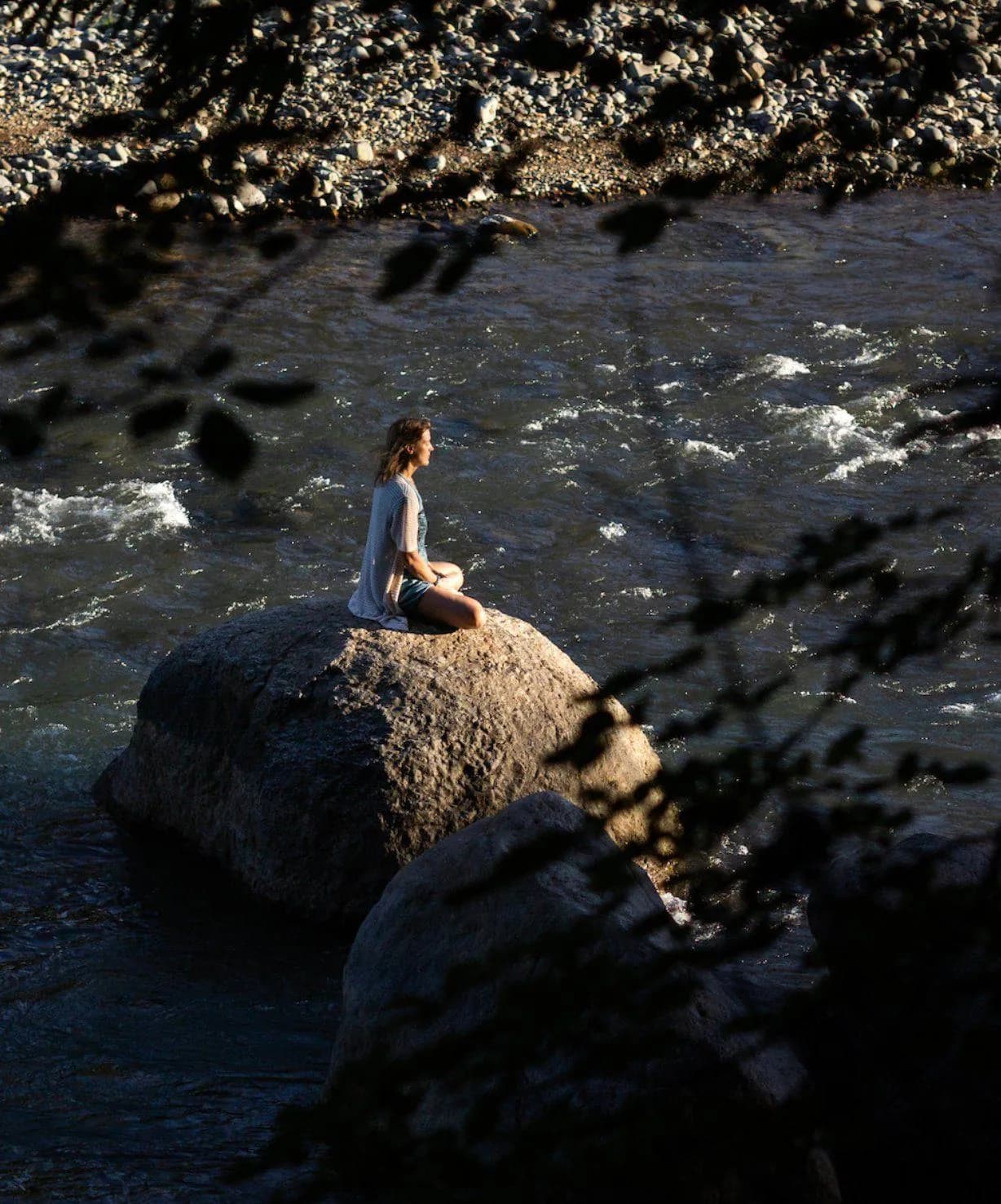 04The measurements6.1–8.3pH range, with low nitrates and the conductivity of an undisturbed watershedRead the evidence
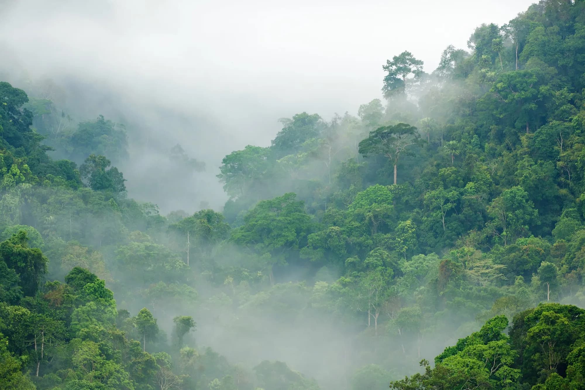 05The evidence4M+tonnes of CO₂ stored in the primary forest on the propertyRead the evidence
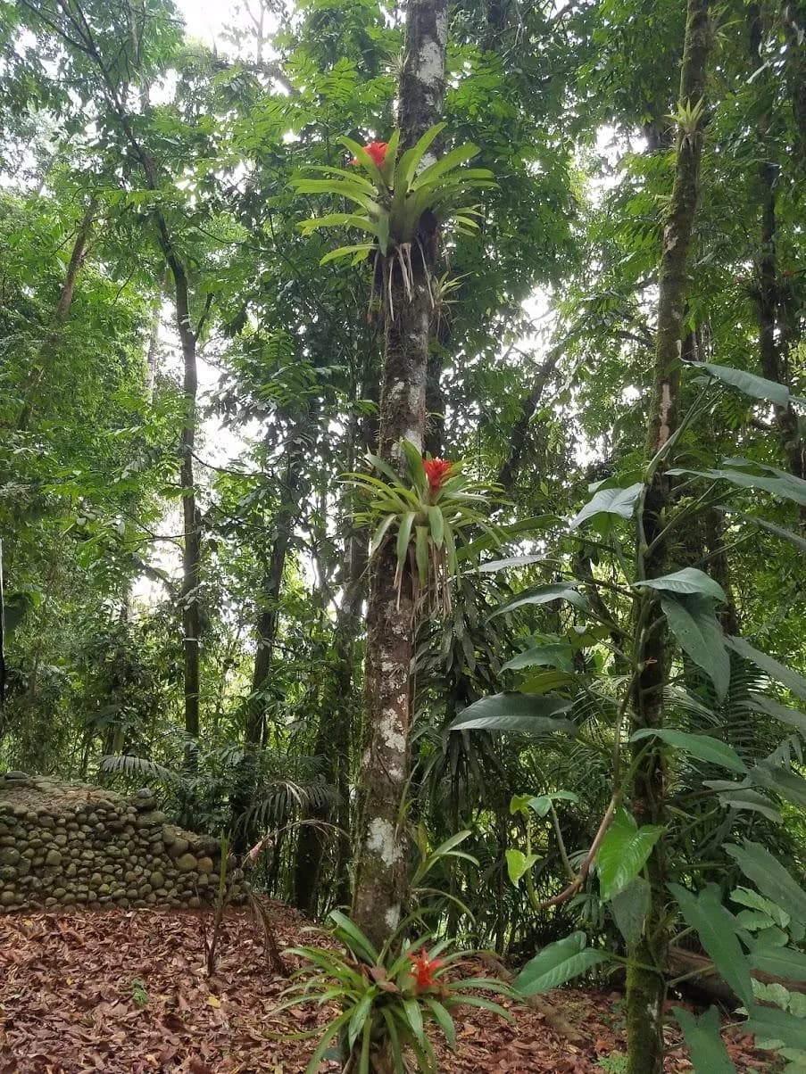 06The record717+species documented across plants, birds, mammals, reptiles and amphibiansRead the evidence
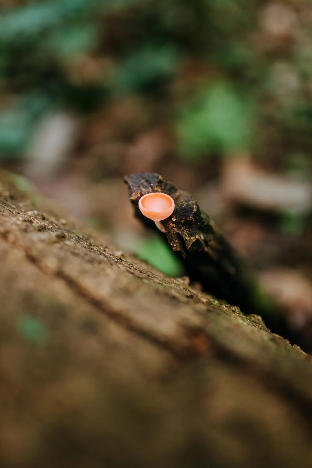 07The system6forest functions working together as one self-regulating systemRead the evidence
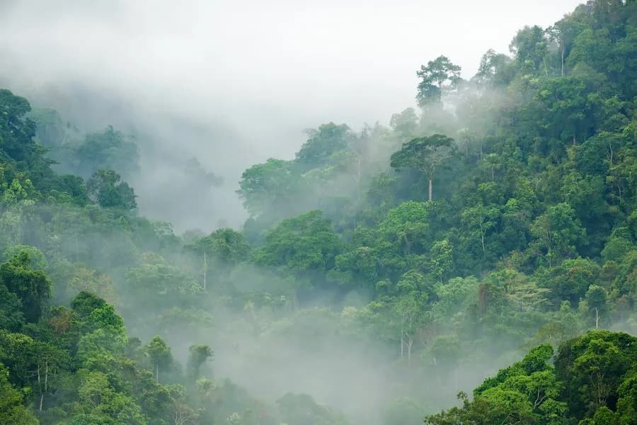 08The horizon35 yrsof family protection so far; the next step is legal protection that outlasts itRead the evidence
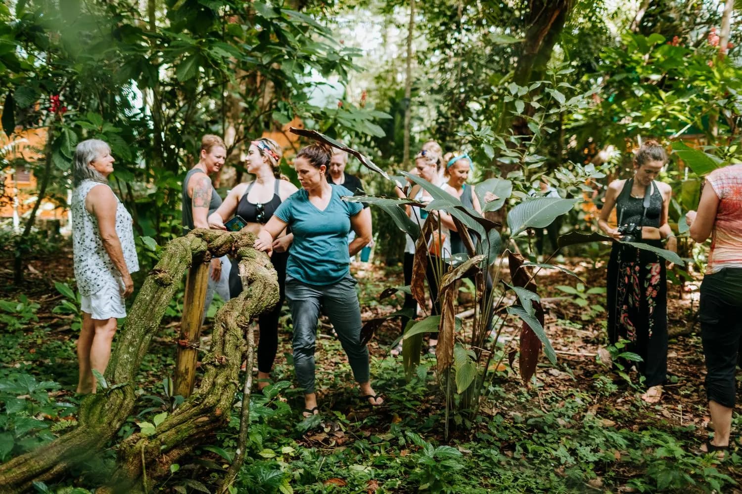 09The practice4connected areas of conservation work, from patrols to peopleRead the evidence
I · The land
850 vertical meters, from the Naranjo to the highest ridge
The Eco Era reserve climbs from roughly 250 meters above sea level to around 1,100 meters. Each band of that climb holds a different forest.
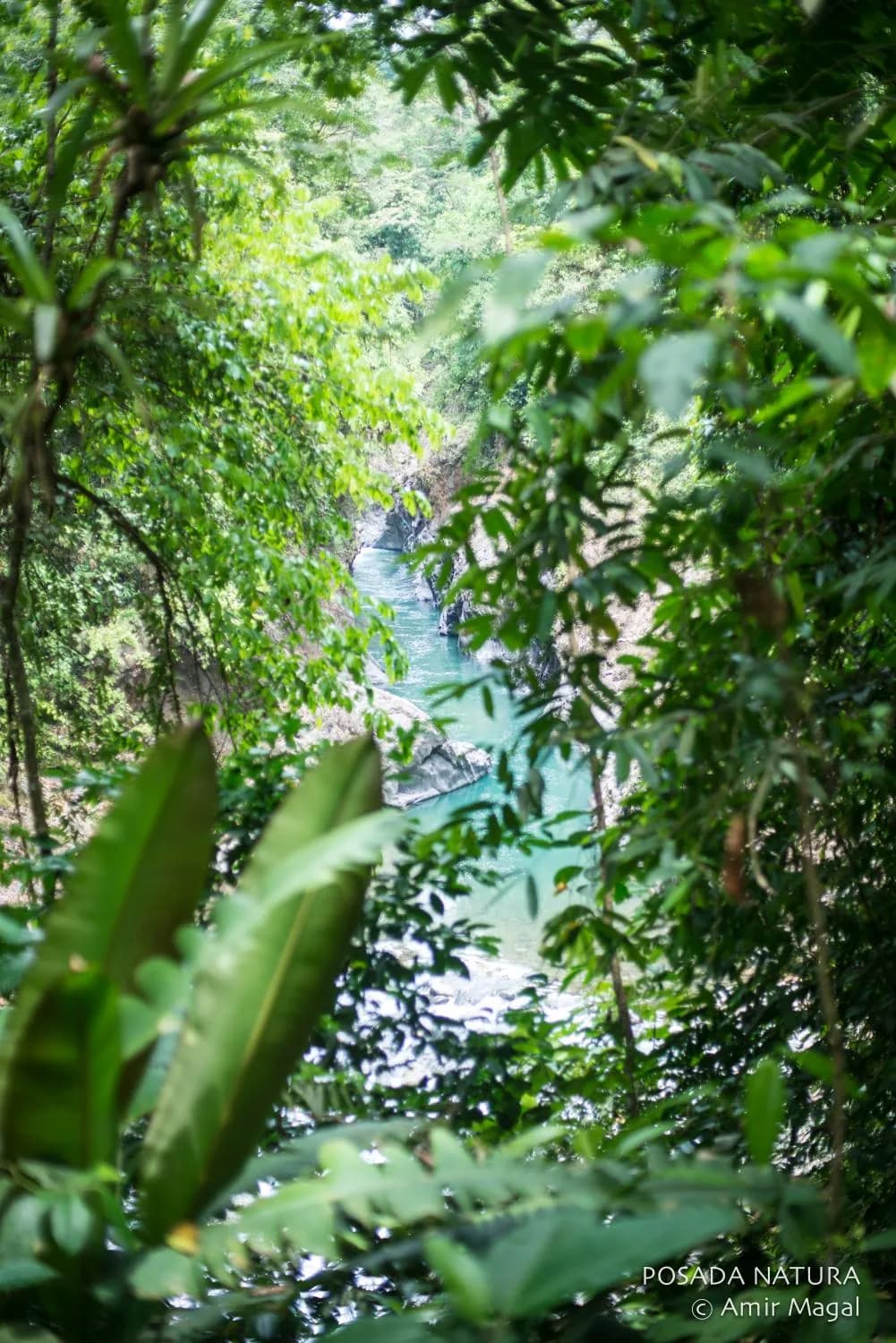
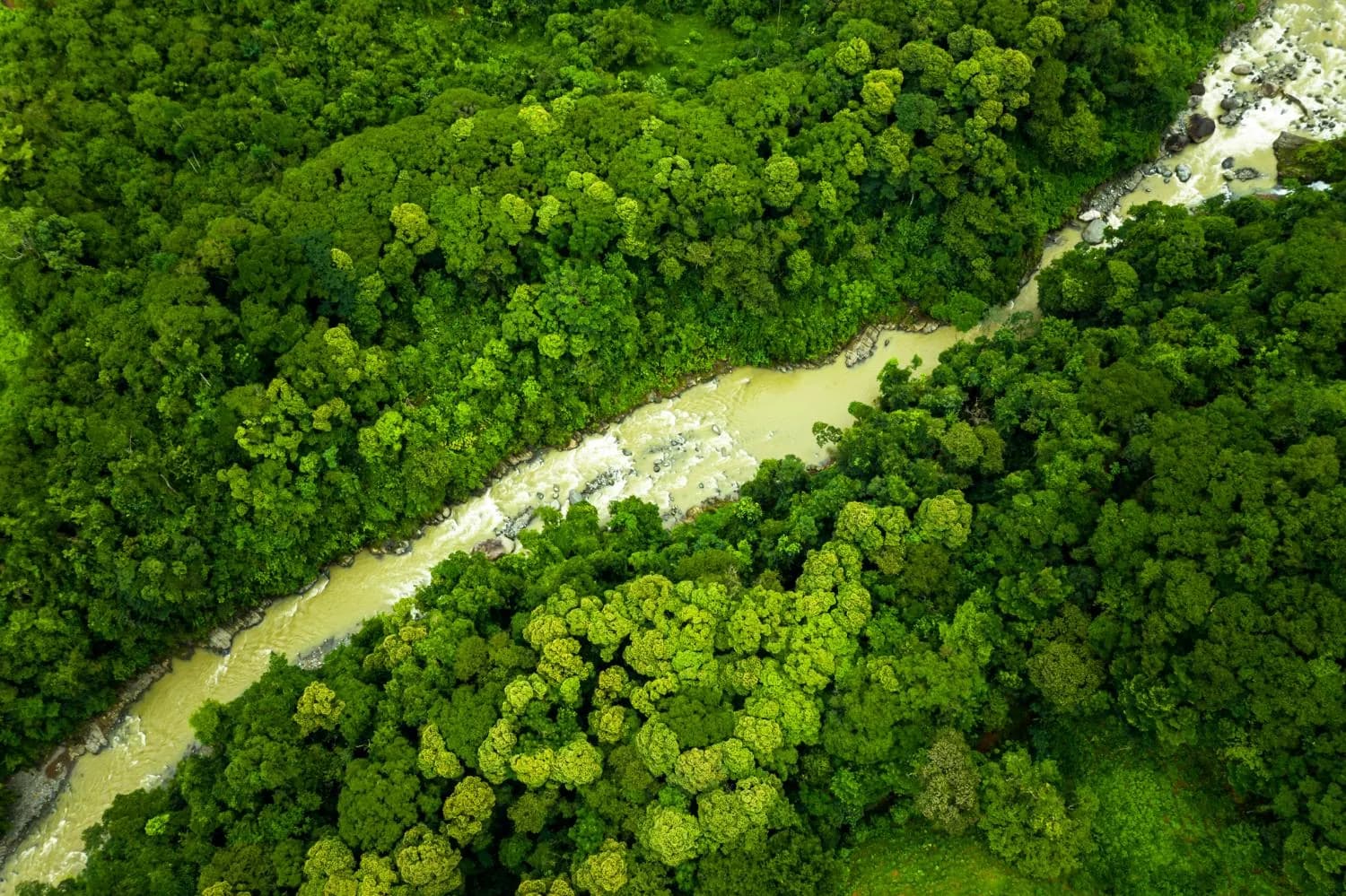
The climb passes through primary and secondary rainforest, steep ravines, headwater streams, mature canopy, waterfalls, and a succession of habitats shaped by elevation and water.
Elevation profile · select a band
Elevation 1,100 m
The upper ridge
Cooler and wetter, with different plant communities. Birds arrive here seasonally from lower ground, which only works while the whole gradient stays forested.
- 1,000+
- acres held directly
- 10,000+
- acres of protected and co-stewarded landscape, of which about 5,810 acres are the legally designated protected zone
Since 1991, the Caldarelli De Leon family has helped protect this landscape from the pressures that have fragmented tropical forests throughout the region.
Scale matters here: a forest may be legally protected and still fail ecologically if it becomes isolated.
A jaguar's range doesn't stop at a property line, and neither does a tapir's, or the water running through both.
The gradient, band by band