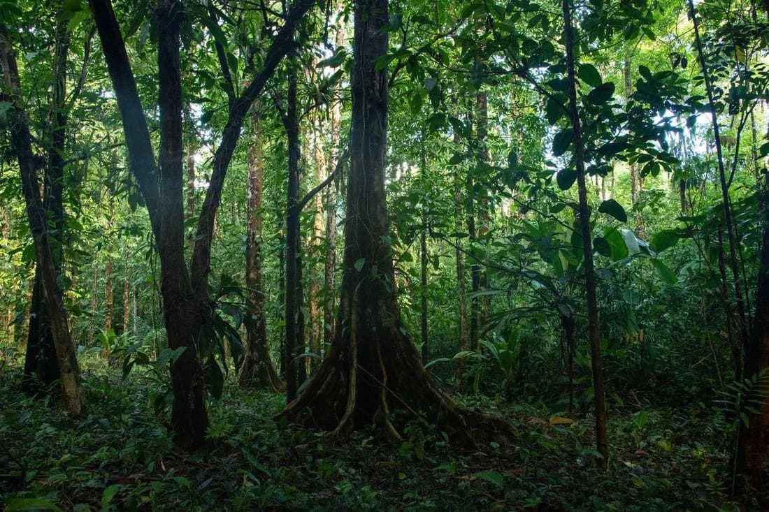
Before you can protect a place well, you have to know what is there.
Conservation begins with observation.
A forest can appear healthy from a distance while its ecological relationships are changing underneath the canopy. Research makes those changes visible: which species live here, where they are moving, how water changes between the headwaters and the river, where erosion is occurring, which habitats are regenerating, and which edges are under pressure.
The findings
Nine findings from the research on this land.
Scan the index, then select a finding to read the evidence behind it.
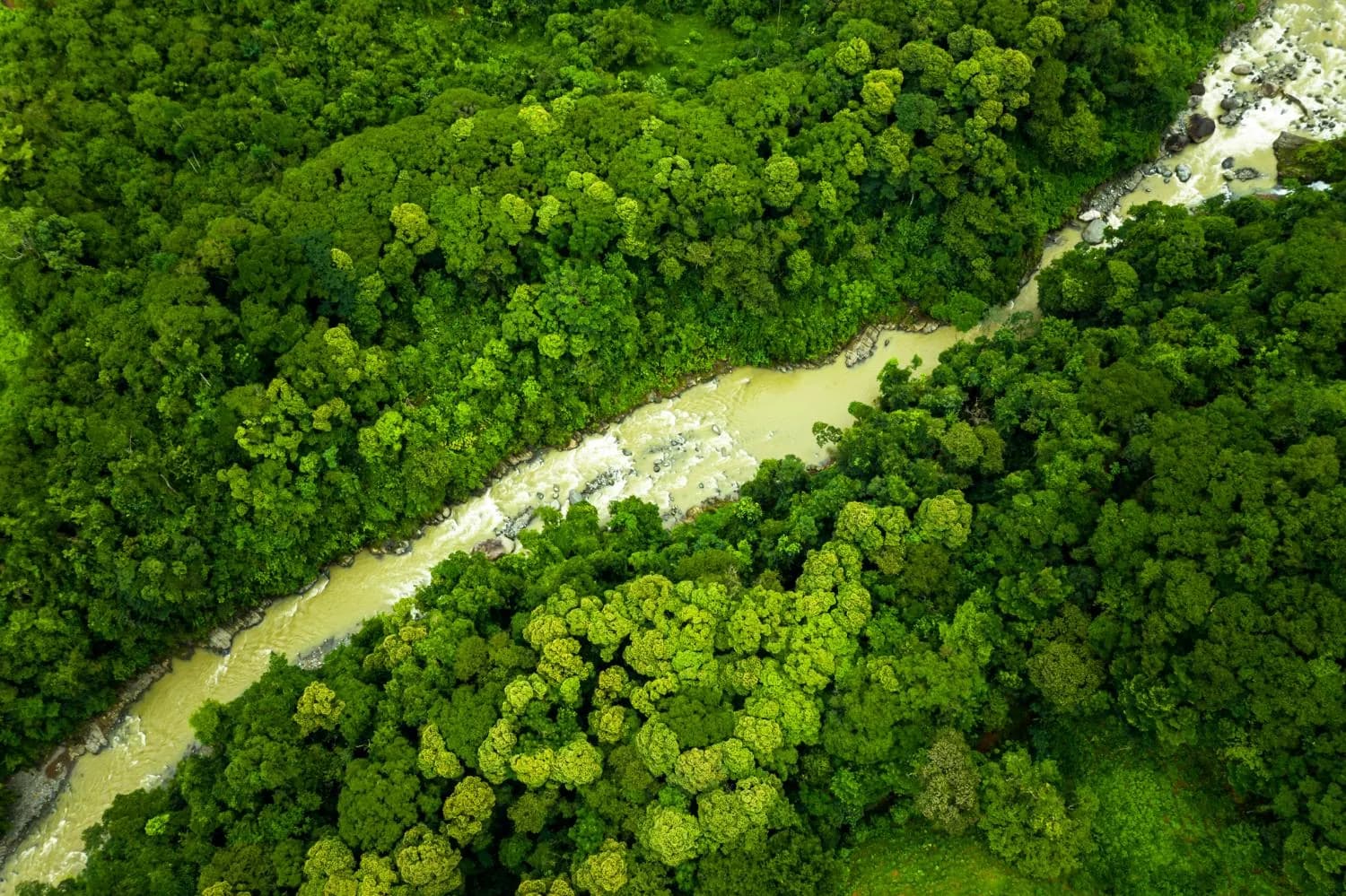 01The land850 mof elevation, from the Naranjo River to the highest ridgeRead the evidence
 02The ground60°+slopes, where tree roots do the structural work of holding soilRead the evidence
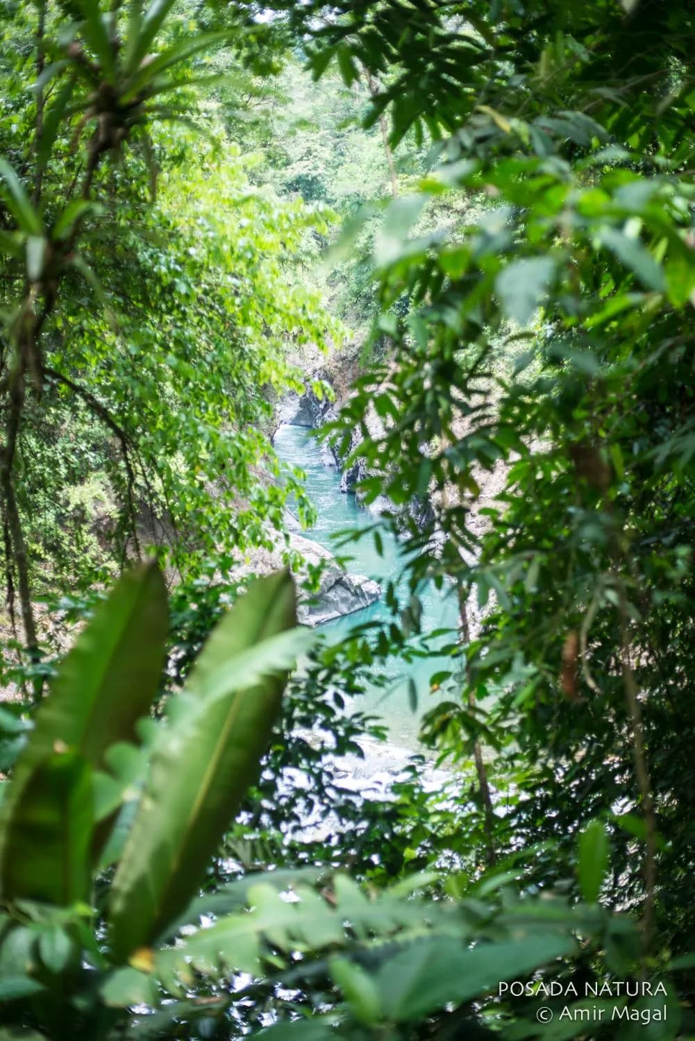
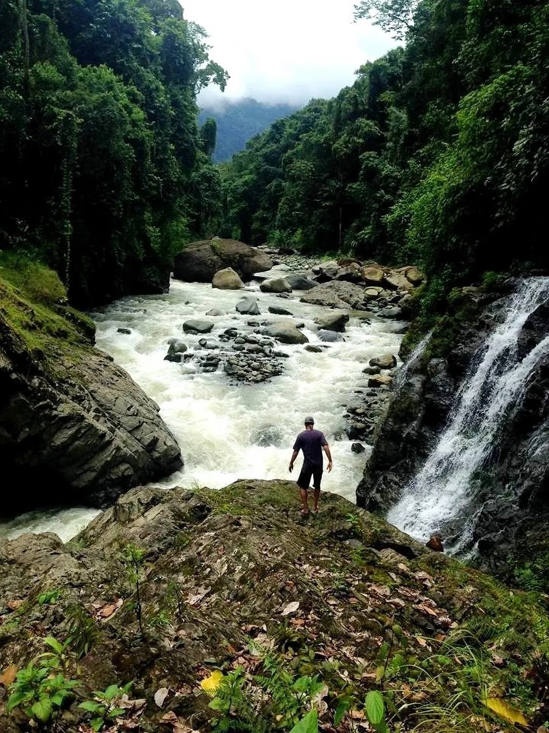
 03The waterDaysthat rain is held in canopy and soil before it reaches the riverRead the evidence
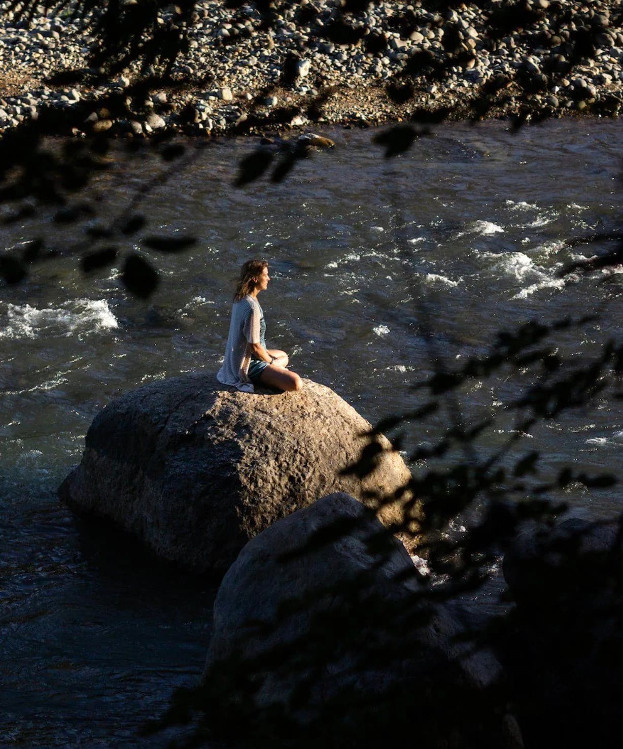 04The measurements6.1–8.3pH range, with low nitrates and the conductivity of an undisturbed watershedRead the evidence
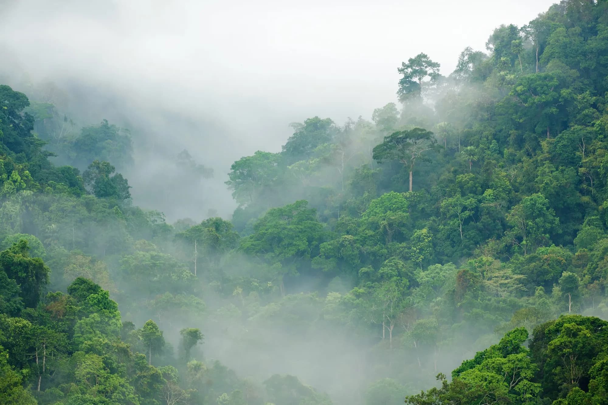 05The evidence4M+tonnes of CO₂ stored in the primary forest on the propertyNow reading
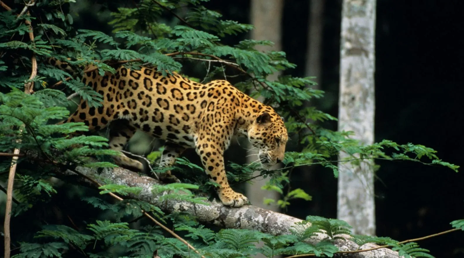
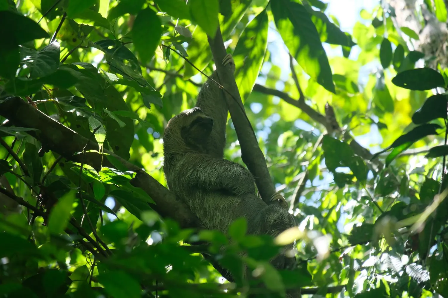
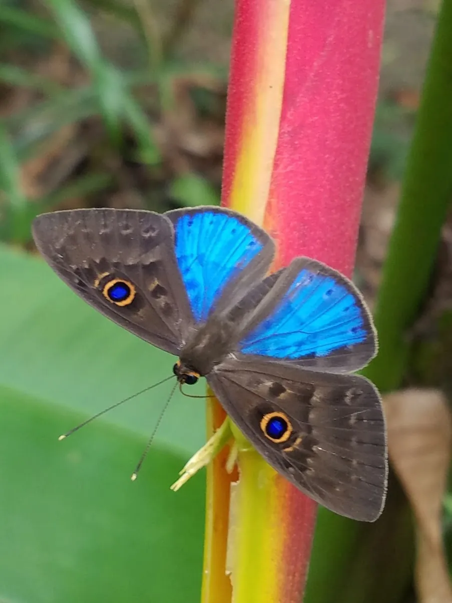
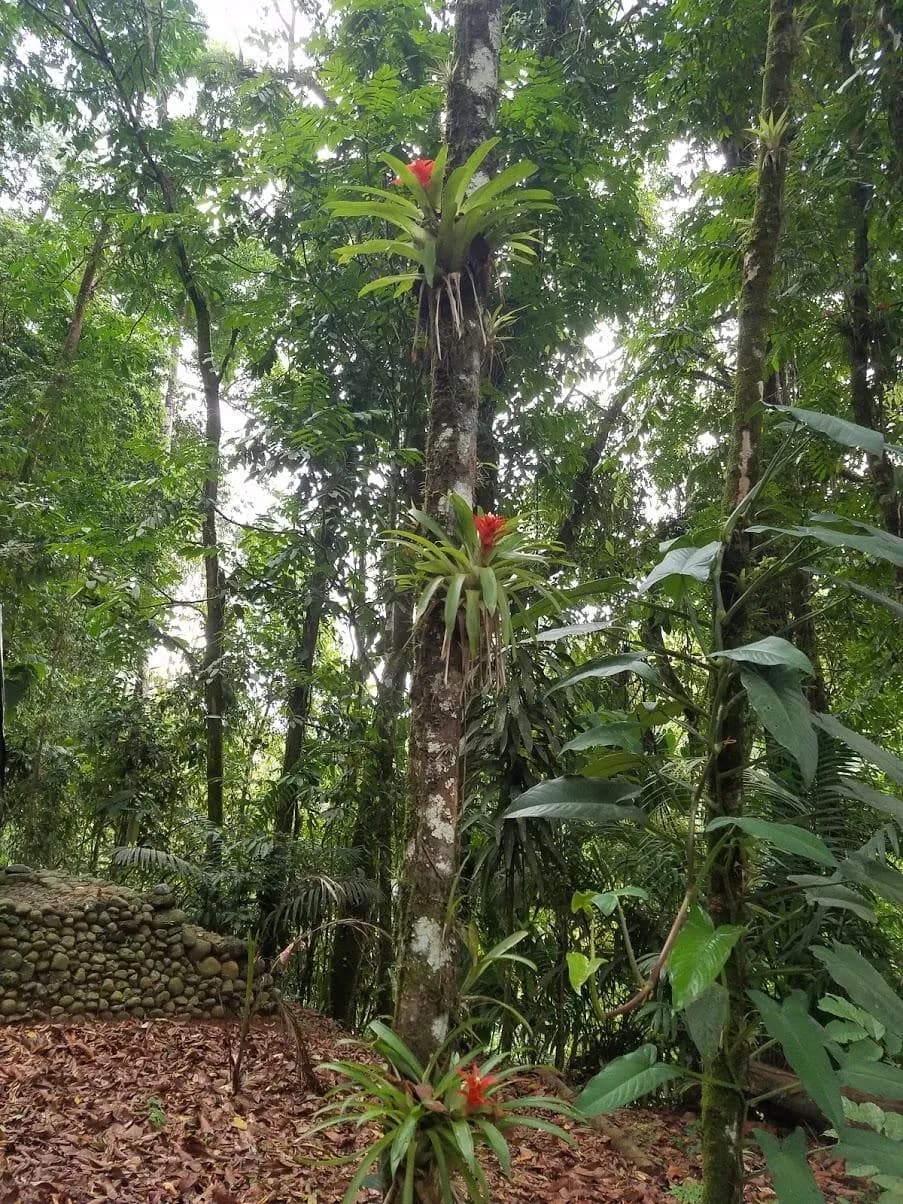 06The record717+species documented across plants, birds, mammals, reptiles and amphibiansRead the evidence
 07The system6forest functions working together as one self-regulating systemRead the evidence
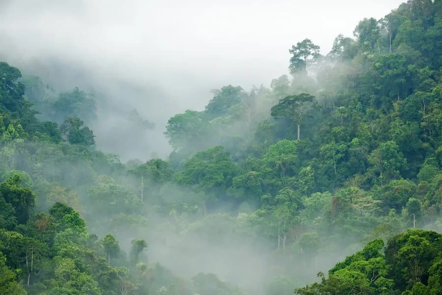 08The horizon35 yrsof family protection so far; the next step is legal protection that outlasts itRead the evidence
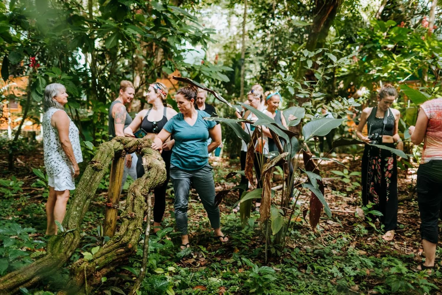 09The practice4connected areas of conservation work, from patrols to peopleRead the evidence
III · The evidence
What the research found here.
Primary rainforest does things plantations and restoration projects can't replicate within a human lifetime. The research on Cerro Nara documents what that looks like here.
The Paso de la Danta. The Path of the Tapir.
Established in 2000, the Paso de la Danta Biological Corridor stretches across more than 82,000 hectares of southern Costa Rica, linking coastal rainforest with mountain cloud forest. Named after the endangered Baird's tapir, the corridor exists to keep wildlife moving through an increasingly fragmented landscape. The Eco Era reserve property sits within one of the corridor's most critical sections.
Without connected habitat, forests become isolated islands where species lose their migration routes and populations shrink. Corridors keep wildlife moving between them.
Since the corridor was established, forest cover across the region has significantly recovered, which is evidence that protection and restoration work when land remains connected.
Beyond Los Santos and Savegre, Cerro Nara links into a wider network of corridors reaching toward Corcovado, La Amistad, and Mesoamerica. It works as a chain of corridors, and each link depends on the land in between staying forested.
The Savegre Biosphere Reserve as a whole · UNESCO, 2017
- 54%
- of Costa Rica's mammal species
- 59%
- of Costa Rica's bird species
- 20%
- of Costa Rica's flora
- 71
- endemic plant species, nowhere else on earth
The corridor connects
- Manuel Antonio National Park
- the Eco Era reserve and Cerro NaraThis land
- Los Santos Forest Reserve
- Savegre River Basin and Los Quetzales National Park
- Onward through the wider network of corridors toward Corcovado, La Amistad, and Mesoamerica
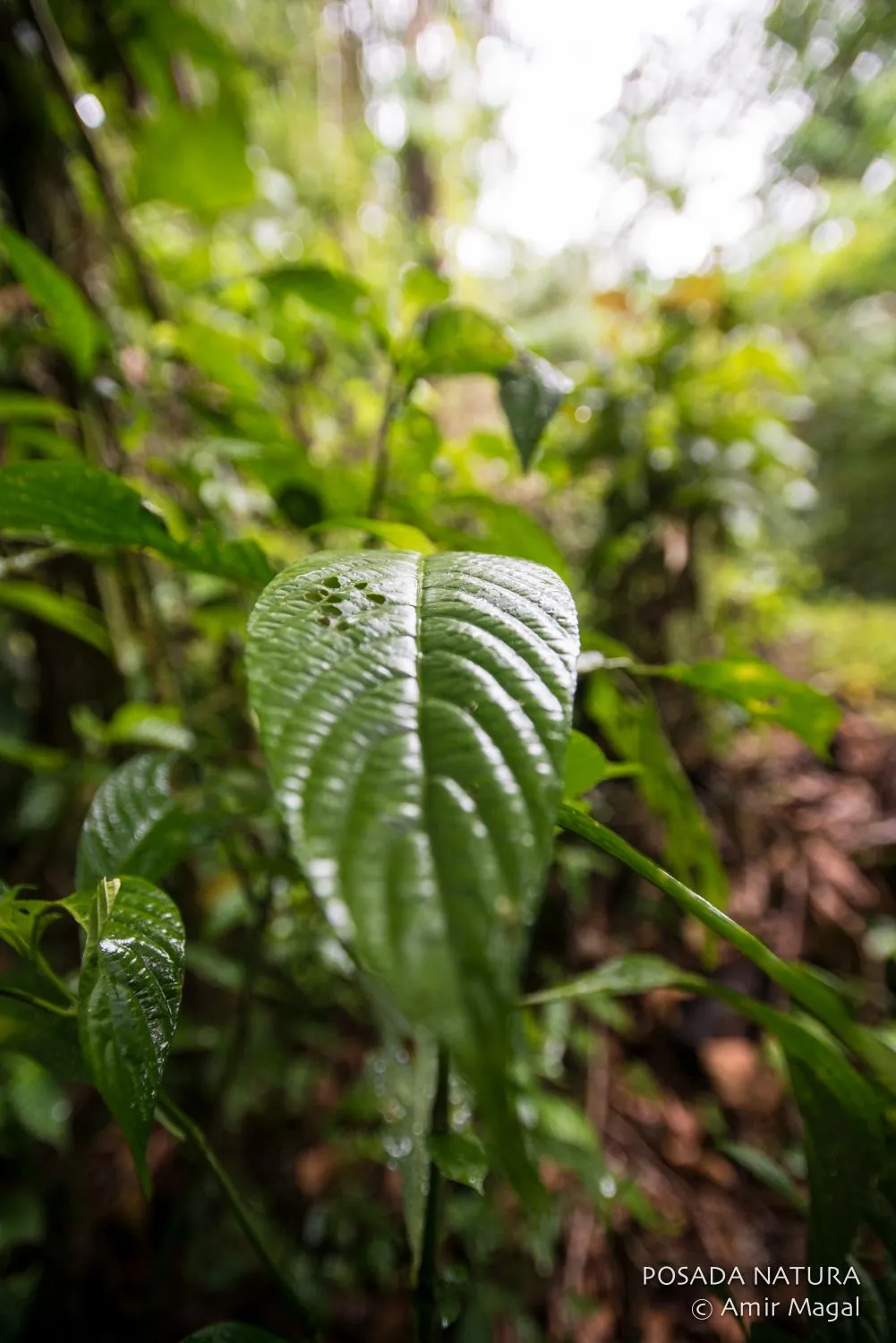
Photographed on the property